50+ weather layers, weather radar and satellite

www.windy.com
Here’s the closest wave height bouy to Machias/seal island. Waves are pretty similar across most of the gulf of maine usually. But these are useful if you need real time wave information.
National Data Buoy Center - Recent observations from buoy 44027 (44.284N 67.301W) - Jonesport, ME - 20 NM SE of Jonesport, ME.

www.ndbc.noaa.gov
And if you need it here’s the Radial search tool for all bouy information
www.ndbc.noaa.gov
This is what we use for commercial fishing to check seas if needed.
Those bouys also have cameras so you can see what the conditions look like. Not sure where they saw 5-7 foot but maybe there’s some weird thing going on close to shore with Seal island with waves bouncing off the island.
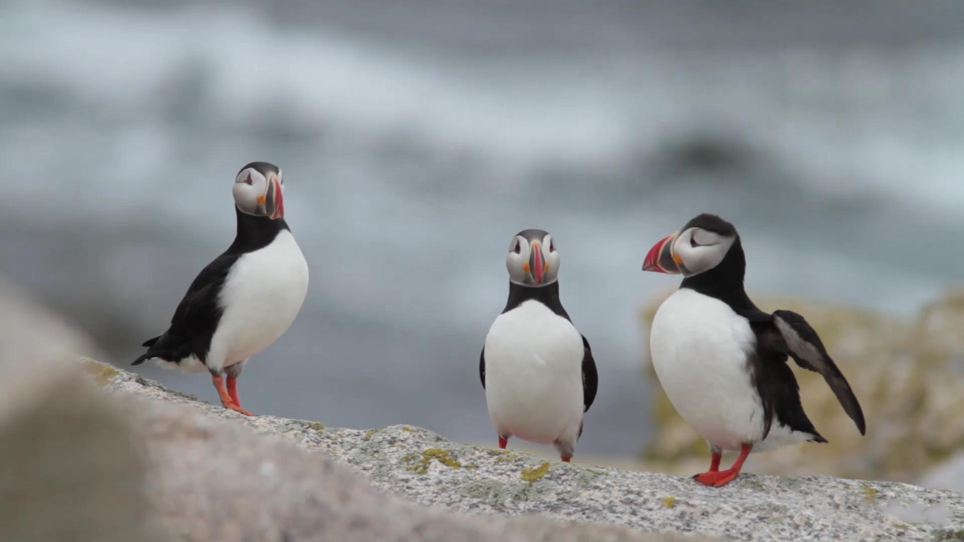
And some live cams of the shore
The puffins of Seal Island, Maine choose to nest in a maze of granite boulders. This live camera will give you a glimpse into the life of nesting puffins.

explore.org
Hope that can help if anyone needs forecast data.