Emergency beacons, do you carry one?

If you would like to post, you'll need to register. Note that if you have a BCG store account, you'll need a new, separate account here (we keep the two sites separate for security purposes).

I always take my Garmin InReach (older one, before the mini came out). In addition to emergency SOS via satellite you can set it up so that it will ping your position and allow people to follow you along your route. It also has text capabilities.
I have been doing this for years with an older InReach (built by Delorme) and it works well.
I am always looking for a substitute though because the Garmin interface and operation is very cumbersome and poorly thought out.
 
I'm in the process of building an overlanding vehicle. My hope is to be off the grid shooting.

I'm looking at devices like the Garmin Inreach Mini for a way to call for help when the cell phone is out of range.

Curious if folks are using this technology and any kind of feedback you can provide.
Here in Australia cellphones etc are usually out of signal.
Although you can get a cellphone booster something like the InReach is essential...🦘
 
I was with a small group hiking from Yosemite Nat'l Park to Lake Tahoe in the Carson Iceberg Wilderness. One hiker in the group lost footing on the trail, and broke every bone in her ankle. We were probably 8 miles from a road in any direction. I had an InReach and another group member had a Spot. The SOS's resulted in a Civil Air Patrol fixed wing aircraft, which arrived in about an hour, and after he waggled wings upon seeing us and flew off, the California Highway Patrol helicopter and EMT crew arrived about 45 minutes later. Fallen hiker had her ankle stabilized and was in a hospital in Tahoe before the rest of us made it to the evening's planned campsite. Don't leave home without one.
 
I am amazed at all of the excellent information and advice already posted to this blog entry.

I will add my own recommendation that deals with maps, compasses and basic outdoor skills and knowledge. I am 79 and grew up when electronic stuff was pretty much non existent, especially for outdoor activities. Those venturing in the outdoors knew they had to have topographical maps with them, the ones with contour lines, water features, etc on them, and they had to know how to read them and use a compass (and the sun and shadows) to determine directions. When my wife and I did hiking in Colorado or any other place, I always bought a topo map for the area where I would be hiking even if it had marked trails. Our practice still applies to everyone who ventures out today as far as I am concerned. Paper topo maps and compasses are needed. Get them before you start your trip. Do not rely just on electronic devices or electronic maps as some may fail or some may not be 100% accurate. And you must invest time to learn how to read them and use them properly. For me that took place in the Boy Scouts and US Army. I do like the recommendations of taking some sort of electronic signaling device on any adventure hike or outing asa Plan B or C device.

Well said and very true. I carry two GPS devices, one of them is an InReach and I also use my phone's GPS to plot my location on third party maps on the phone such as Alltrails. i do this out of curiosity more than a specific need.

It is remarkable how the three different GPS's will show three different locations for me on their respective maps at the same time. They are off by fractions of a mile versus miles but that can be alarming in the mountains. At times they will lose connectivity entirely so maps are a great backup resource.

After I retired I worked as a fly fishing guide for several years and would download and print out 8x10" topo maps of the back country. I haven't guided for about 15 years but still have a file folder stuffed with topo maps stashed in my car between the driver's seat and the console and still refer to them from time to time.
Thanks again for your comments.
 
I am amazed at all of the excellent information and advice already posted to this blog entry.

I will add my own recommendation that deals with maps, compasses and basic outdoor skills and knowledge. I am 79 and grew up when electronic stuff was pretty much non existent, especially for outdoor activities. Those venturing in the outdoors knew they had to have topographical maps with them, the ones with contour lines, water features, etc on them, and they had to know how to read them and use a compass (and the sun and shadows) to determine directions. When my wife and I did hiking in Colorado or any other place, I always bought a topo map for the area where I would be hiking even if it had marked trails. Our practice still applies to everyone who ventures out today as far as I am concerned. Paper topo maps and compasses are needed. Get them before you start your trip. Do not rely just on electronic devices or electronic maps as some may fail or some may not be 100% accurate. And you must invest time to learn how to read them and use them properly. For me that took place in the Boy Scouts and US Army. I do like the recommendations of taking some sort of electronic signaling device on any adventure hike or outing asa Plan B or C device.

I wish paper maps were more readily available theses days.
Like cellphone coverage - Electronic maps are just not available in the places I like to go...🦘
 
I wish paper maps were more readily available theses days.
Like cellphone coverage - Electronic maps are just not available in the places I like to go...🦘
You can find the maps online from GAIA, Alltrails etc. There seems to be a lot of sources.
Just download them and print them. Unless the map is trail specific I usually just download the map and select the section of the map that I want and then print that.
 
Once I'm back in a canoe next spring even though lots of it will be in view of a major city's skyline I'll be carrying something (likely Garmin InReach) other than relying on my cell phone; should have it now for the non wilderness hiking I'm doing since I do it almost exclusively alone and I've checked a few times and found zero cell coverage. This thread was a good reminder that I've forgotten that cell phones are not the tool needed!
 
  • Like
Reactions: Roy

USGS maps may also be available at State Land Grant Universities and/or State Geological Service offices, USFS and NPS sites.
 
I'm in Terrell. Good luck on the search. I ordered a Ford Lairet Tremor (been Ford guy all my life) and after months of hearing "waiting to be scheduled" I looked elsewhere. The Power Wagon is nice in that most everything you need is factory installed. 2" lift, lockers front and rear, winch etc. I'm not big into huge aftermarket suspension mods etc.
Sending you a private message.
 
Let us know what you got. The new Sequoia looks good too.
I drove a Chevy Silverado ZR2 yesterday, along with a 2019 Land Cruiser and a 2022 Ford F150 Tremor. I would love to take a Sequoia out but not many out there and the ones that are dealers are selling for significantly over MSRP which is a no go for me.
 
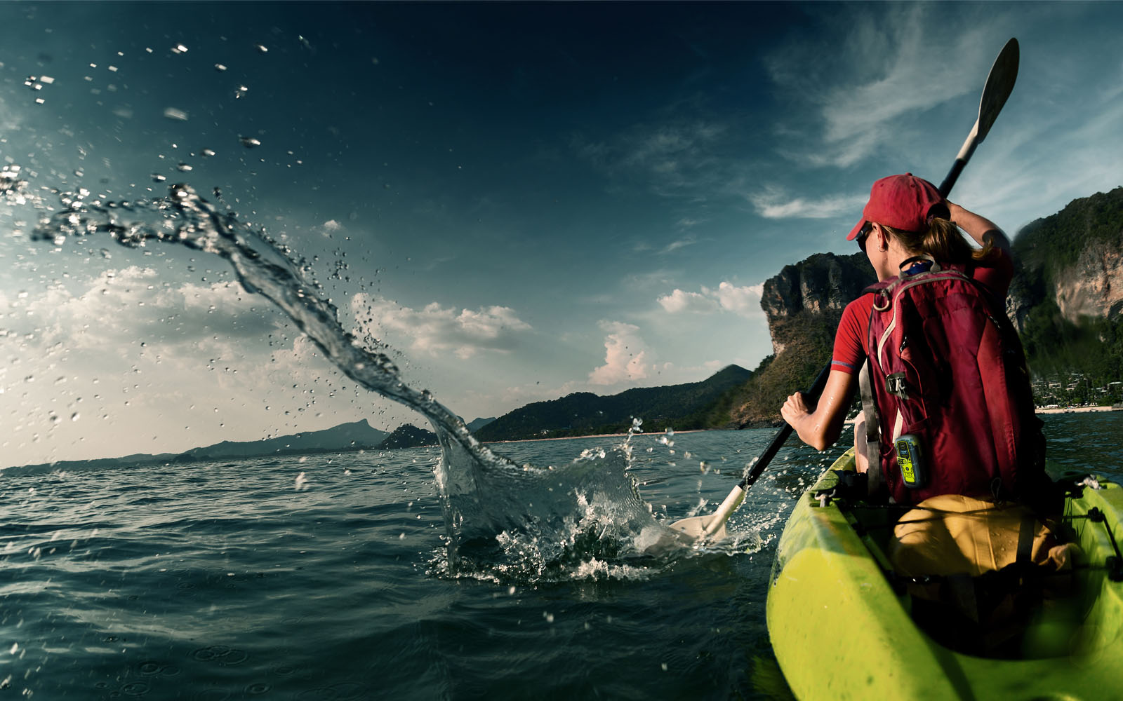
A Garmin InReach or similar device (with backup charger) would have avoided a potential disaster at sea. This photographer was fortunate to avoid seriously rough seas


Similar situation in Australia, which could have turned out fatal
 
Having worked and recreated in remote places for over 50 years and participated in a number of searches I'll add my two cents worth. All too many people go to out-of-the-way places without proper knowledge, preparation or equipment with the attitude "I'll just call for help" if they do something stupid or needlessly endanger themselves and get in trouble. My opinion: If you, or your companions, can't get yourself out don't go. There are a lot of waterfalls I really want to photograph but won't -- because at my age I might not be able to get into the right spot for a good photo and back out safely. It's the height of irresponsibility to get yourself in a predicament and then ask someone else to possibility endanger themselves to get you out.

I'm a firm believer in charging for rescues since it appears that most people who call for a rescue could and should have helped themselves and didn't. All you have to do is read the reports of the backcountry rescues in the remote and wilderness areas in the northeast to get a plethora of examples. I've never carried a cell phone or emergency locator beacon and never will, I'll stay at home on the couch watching M*A*S*H reruns first. Yeah, I may die out there some day and I'll die doing something I really enjoy.
I agree with some of what you say. However, consider for example someone who goes for a hike in relatively unchallenging conditions, slips and breaks a leg. That renders you immobile immediately and there's no reasonable way of getting back home alone. I can go further and say every time one leaves your home and ventures outside there is a certain amount of risk involved because you are not in control of the environment anymore.

So I think it's a matter of assessing the potential risks involved in the venture, assessing one's own abilities, deciding how much risk one is willing to accept (hopefully being realistic and honest with yourself), and then including plan B and C such as the ability to reach rescue services as a last resort.

As for the rescue folks, at least they have training and are capable of determining whether a specific rescue is too risky for them to attempt or not. And they volunteer for the job with a good understanding of the potential risks to their own safety that comes with the job.

I assume at least some of the rescue services are taxpayer-funded. As for making someone pay for a rescue, yeah, it can be considered, but only for cases where the rescued clearly displayed poor judgment and took unreasonable risks.
 
I carry a Garmin inReach when I am in places where cell coverage is absent or iffy. Even kayaking on the lake where we have a cabin in Northern Minnesota can take me out of cell coverage.

I've not needed the inReach for emergency purposes so far and hope that I do not. But it will be good to have if there is an emergency for me or others. I also find it useful to communicate with my wife on a non-emergency basis when I am on photo trips to remote places. I've sent her texts with the inReach from Greenland in the north to the Antarctic Peninsula in the south and many places in between.

It is interesting that Apple is adding a text-by-satellite feature to its more recent iPhones. (And certain models had an emergency text-by-satellite feature before this.) But as far as I can tell, it is only available in North America for those of us living in North America. I saw some fellow participants on a recent trip to British Columbia's Great Bear Rainforest use their iPhones to send satellite text messages. I assume that Apple will increase geographical coverage over time. Not sure what the pricing will be after the initial free period.
 
On the newer iPhones, if you are outside of cellular service, you can text via satellite, or dial 911 to send an emergency SOS. My son just had to use this feature when his backpacking group got stuck in a snowstorm on the side of a mountain.
 
I worked search and rescue for the NPS when I was younger and also witnessed a lot of questionable choices by people venturing into places they were not fit enough to get out of and they got themselves into a dire position.

Obviously everyone should know their limits. I would not attempt things I did when I was younger today.

I have used an inreach from delorme since they were launched mostly as a texting device to keep my wife from being worried. It’s there if needed should something happen that I can’t get myself out of. But I do everything I can to avoid that.

The most basic GPS is still the one I use the etrex line because it runs on AA and the battery’s last weeks on the latest one. It’s also quite tough. It’s easier to populate now then ever with garmin explore. That a basic compass and map and your good on navigation. Phones eat battery’s way to fast to be relied on for any long term navigation. My GPSV also still works fine from @ the year 2000.
 
Back
Top